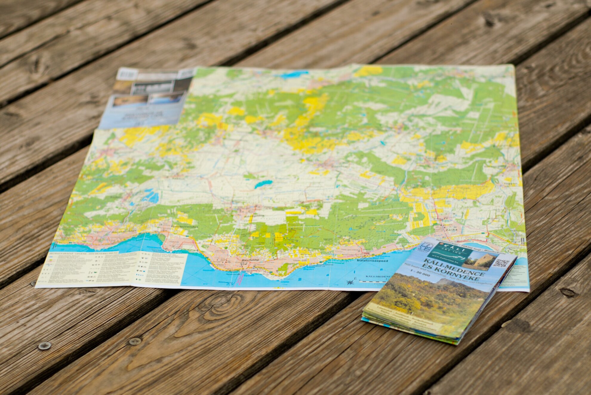
She had planned on surveying the region in a matter of a week; in the end, the comprehensive and detailed tourist map of the Káli Basin took a year for two persons to finish. What could possess someone to bathe in rainwater all summer long and search for trodden tourist trails? The mind behind the Káli Basin map, Csilla Fehér talked to us about the joys and challenges of map-making.
For those aboard an aeroplane, the land below seems to be a map - but those who want to make a map, often have to roam the given area for years and browse libraries endlessly. At the beginning, the project started out as a naive idea - in the end, it turned the life of Csilla Fehér upside-down. She wanted to visit the Káli Basin for a week but she ended up moving there. What's more, she found love and discovered all the hidden nooks and crannies of the region within the span of a year.
She was introduced to map-making by a cartographer, Gyula Schwarz. Csilla came up with the idea of the detailed tourist map and she was the one to realize it, while Gyula was responsible for the cartographic tasks.

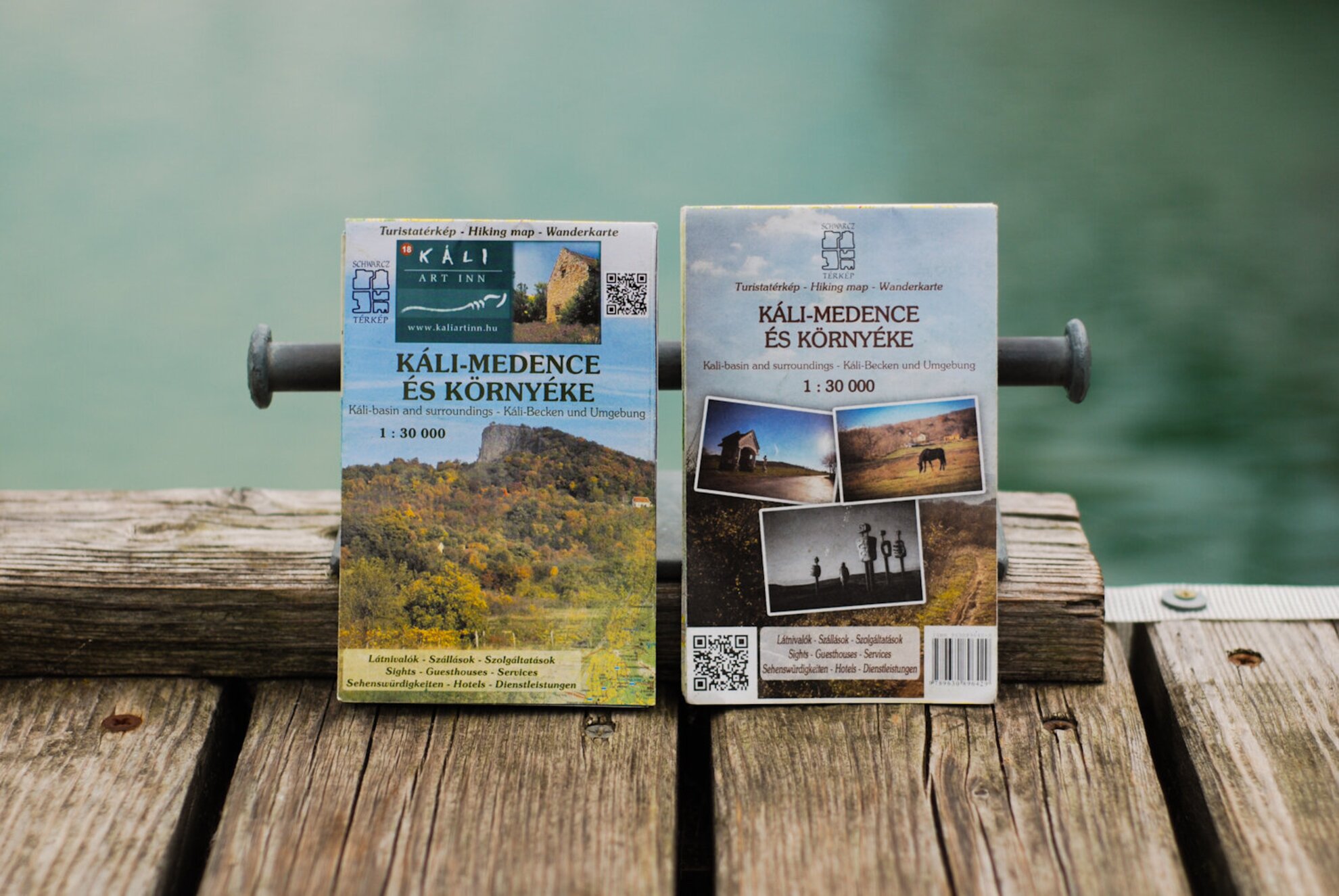
The map was released n two versions. The backside of the free version features ads of the local service providers, which helped to cover printing costs. The backside of the commercial version features a short description of each of the 21 settlements in and around the Káli Basin.
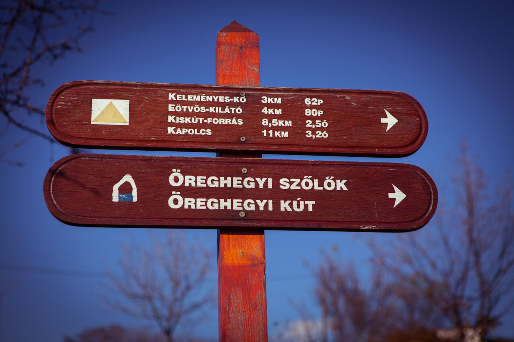
The latter version is available for the symbolic price of 500 HUF. The map includes all the information relevant to tourists, from wifi zones and bus stops through tobacco shops to all the less-known lakes, church ruins and wells. It also marks the locations of protected trees and rocks with a spectacular view. And, naturally, it displays each and every bike path and hiking trail there is.
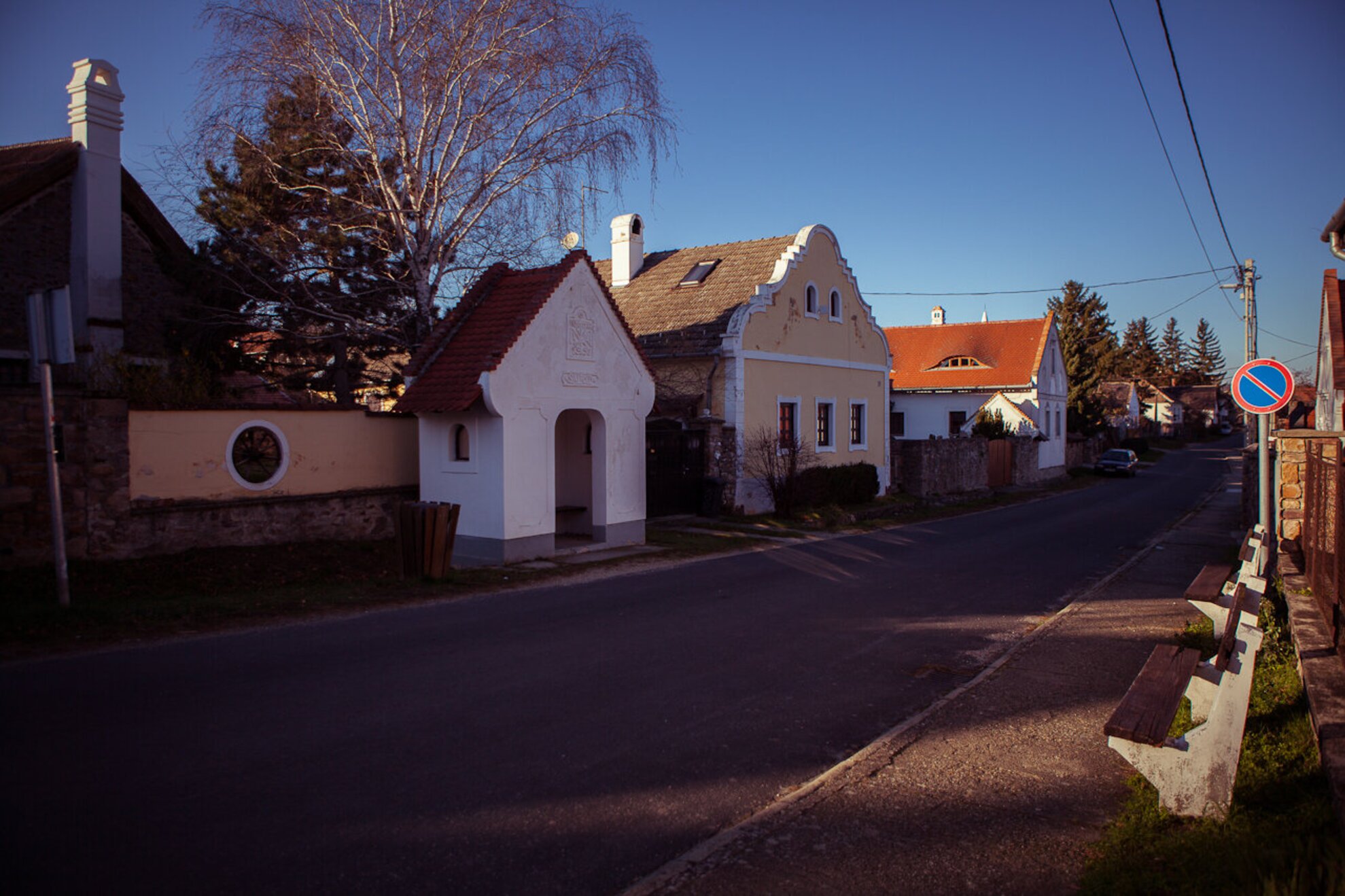
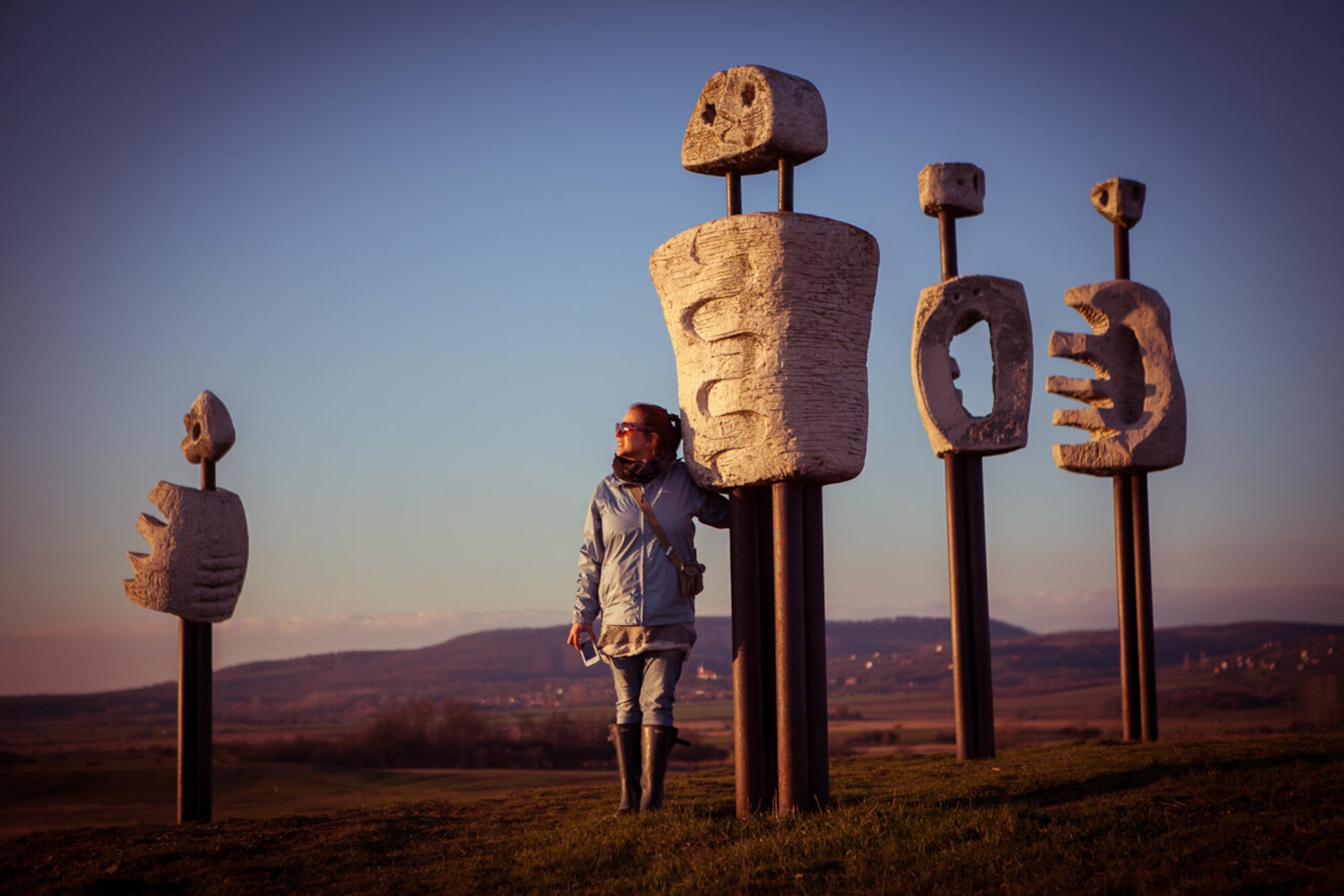
Somewhere along her explorations, Csilla realized that the sand on the shore of the tiny Salföldi-tó was as beautiful as at the Adriatic Sea, and that the sculptures of the Secular Comedy near the Kornyi-tó were in fact standing tight in the middle of the Káli Basin. It took a whole year of hiking to decide that it was the Köveskáli-hegy that offered the best view of the entire Káli Basin.
And how to tackle map-making? It is not the way laymen would imagine: it does not start with a piece of blank paper, a liner and a pencil. The first step is to pay the royalty of the map sheet in question to the relevant authority, the work can only start after that. You have to begin with checking the already mapped routes. Some of the routes displayed turned out to be impassable, and Gyula also found a new one, which he duly marked out on the new map.
Csilla admits openly that this kind of job does not sustain one. She says she is 'living on the minimum', but she does not mind: she is waiting patiently for her work to come to fruition financially in a few years.