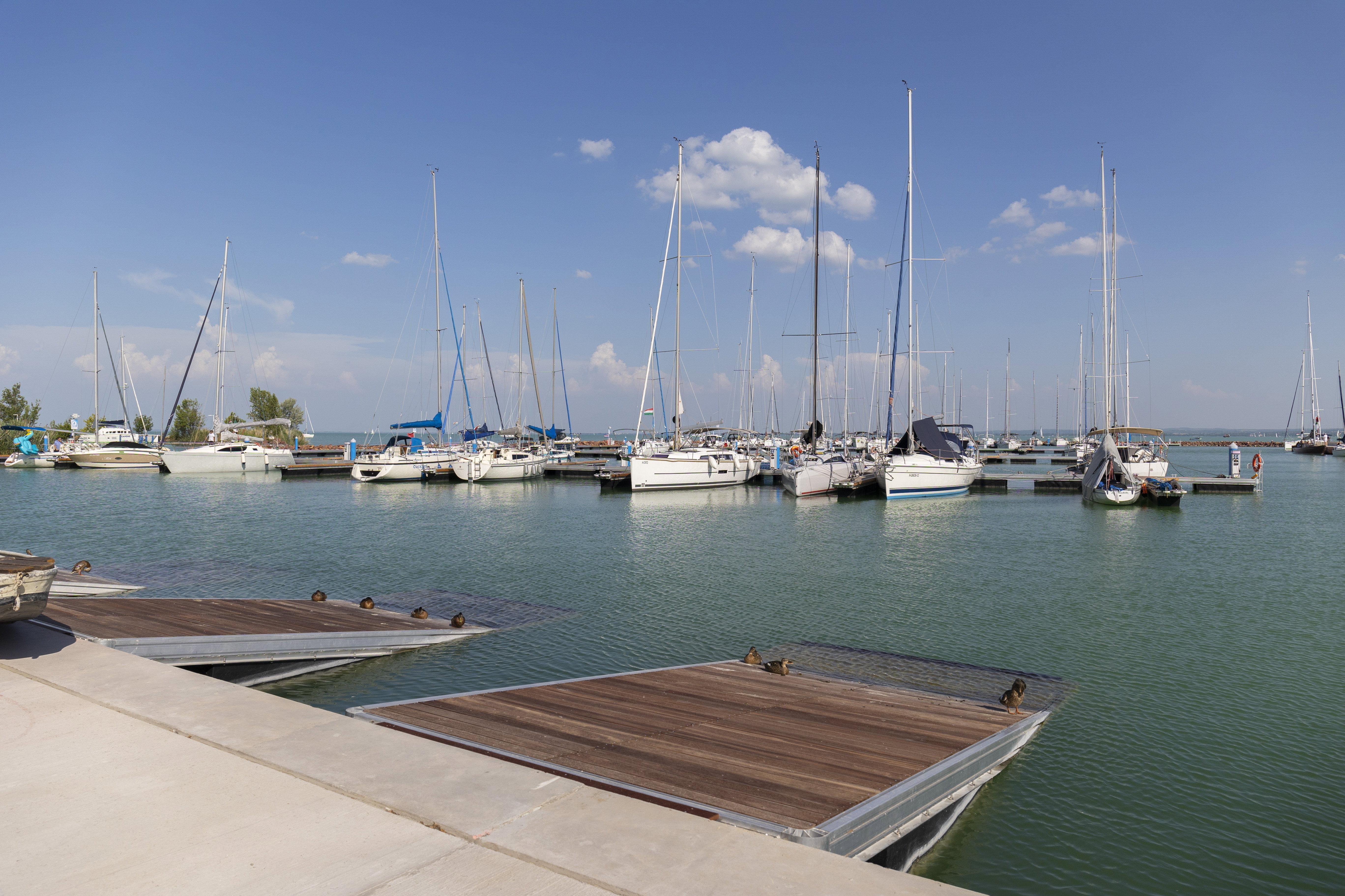
With social distancing and sticking to the protocol, you can safely embark on an individual and invigorating hike that lifts any feeling of confinement – or even a longer walk, while the guidelines remain in place during the pandemic. Here we have gathered together a number of picture-postcard places not too far from civilisation, easily reached in a shorter walk. You shouldn’t get lost – just lost enough to admire at the beauty of spring as it first appears.
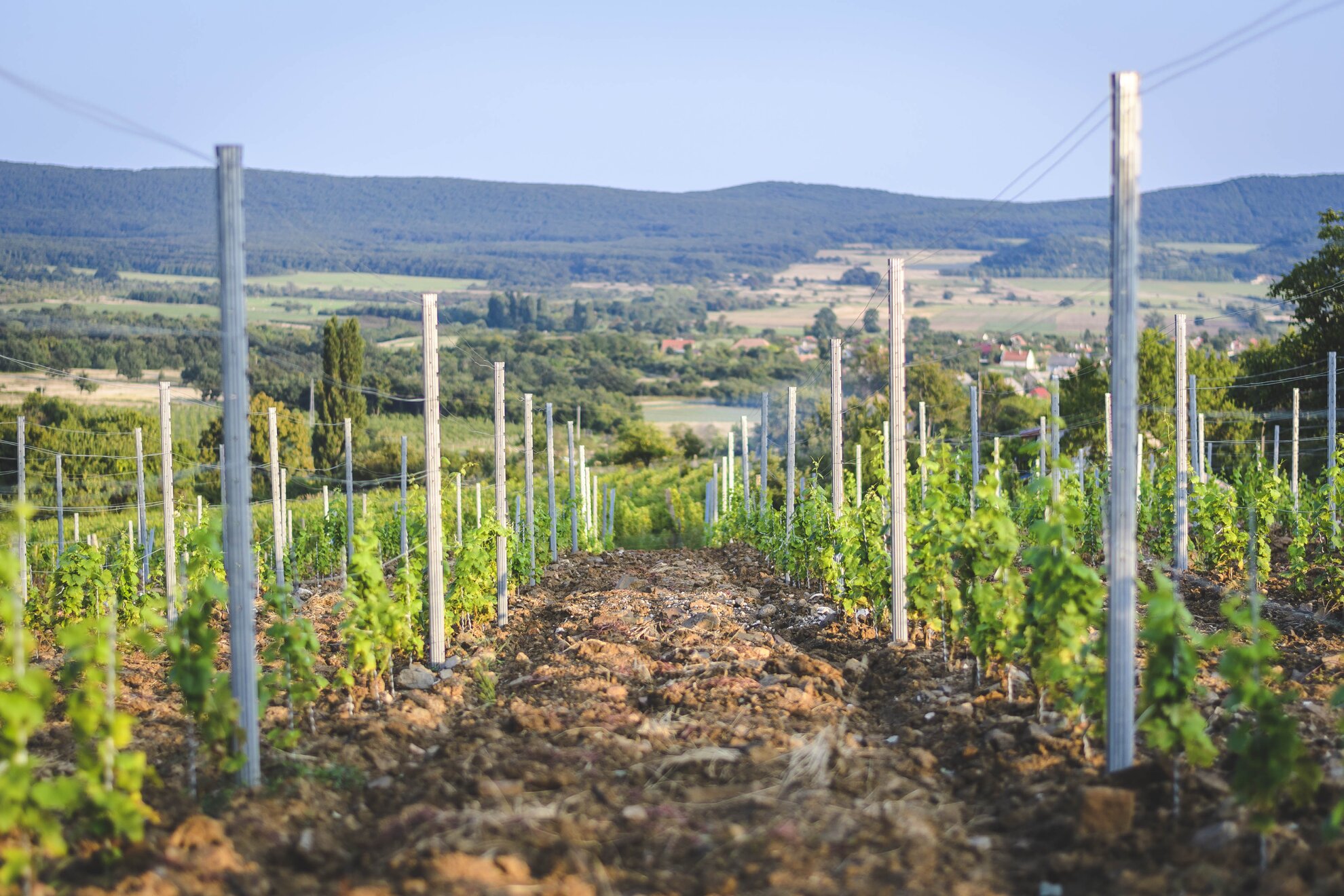
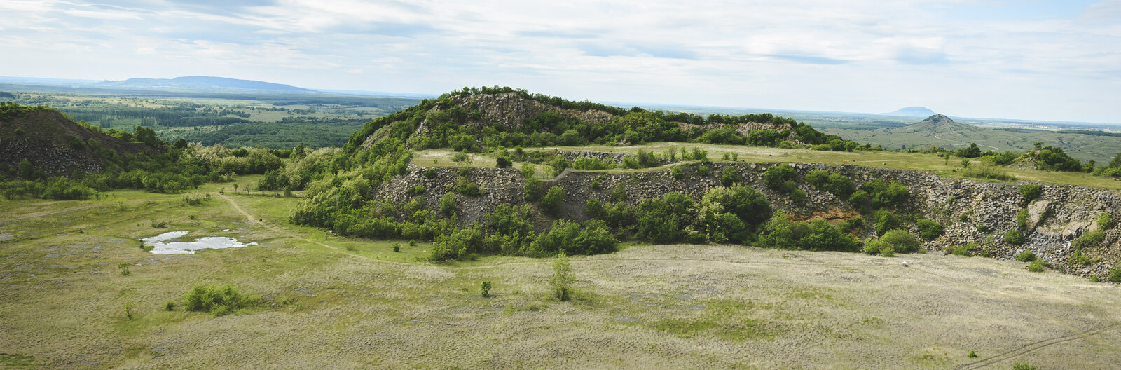
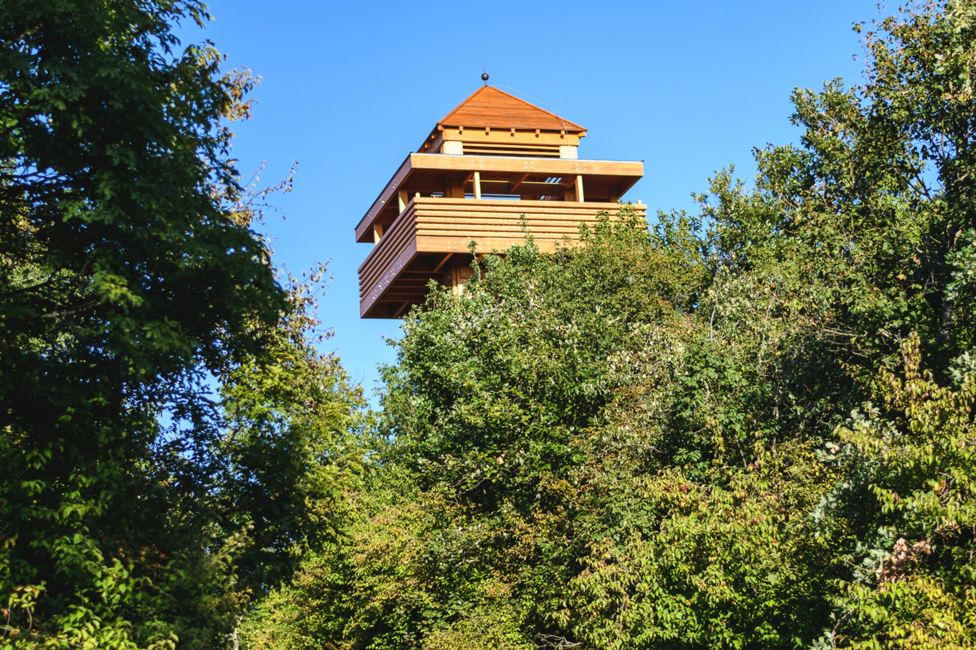
‘Black Mountain’ is a volcanic complex of 12 square kilometres, stretching from Szentbékkállá to Kapolcs. It is easy to conquer, from the top you can see the whole Káli Basin and even Lake Balaton appears in clear weather. In addition to the Károly Eötvös lookout tower, the route also has plenty of natural and man-made attractions: half-collapsed wine-press houses dot the hillside while on the plateau you can admire six lakes, the origin of which is still a mystery.
Getting here
The lookout can be reached from the stone cross near the famous Szentbékkálla stone sea past the vineyards, after the signs on the National Blue Tour. You can also turn back from the Eötvös lookout tower and follow the yellow triangles to get to the lakes.
You can also turn back from the Eötvös lookout tower, and follow the yellow triangle to get to the lakes.
For a long time, this lone hill could not be legally hiked, but in the spring of 2019, a three-kilometre study trail with two degrees of difficulty was opened up around this former basalt mine. Haláp is light terrain, the study trail itself can be explored in an hour and a half, but it is very varied and has many geological features. It is shocking to be confronted with what mining here, similar to the lone hills of Badacsony or Szent György, reducing Haláp from its original 358 metres to today’s 291. Around the windy crater, you can see lava outcrops such as Hegyestű, but here the lava columns are not only vertical but can be observed in horizontal and diagonal directions.
Getting here
From Zalahaláp, a few kilometres from Tapolca, head towards Nyirád (Devecser). Beyond the cemetery, the sign marked Bánya út indicates you should turn right. Between vineyards and wine-press houses, walk up the winding road to the mine. After a small path by the barrier, you soon spot the first signs of the study trail.
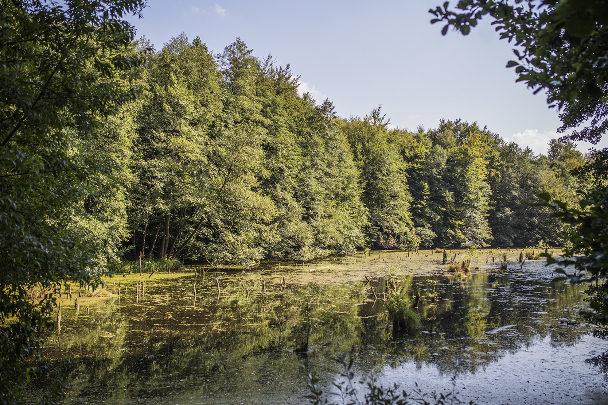
Near Bakonybél, expertly artificially expanded, this has been nicknamed ‘Bakony Killer Lake’ because, like its big brother in Transylvania, tree stumps protrude from the water. This route is recommended for more experienced hikers or those who are already a little familiar with the area. The hills of the Balaton Uplands may seem like gentle slopes beside the dramatic gorges of Bakony.
Getting here
Starting from Emil Fields, about 3.5 km from Bakonybél, this hiking site is beautiful and easy to reach.
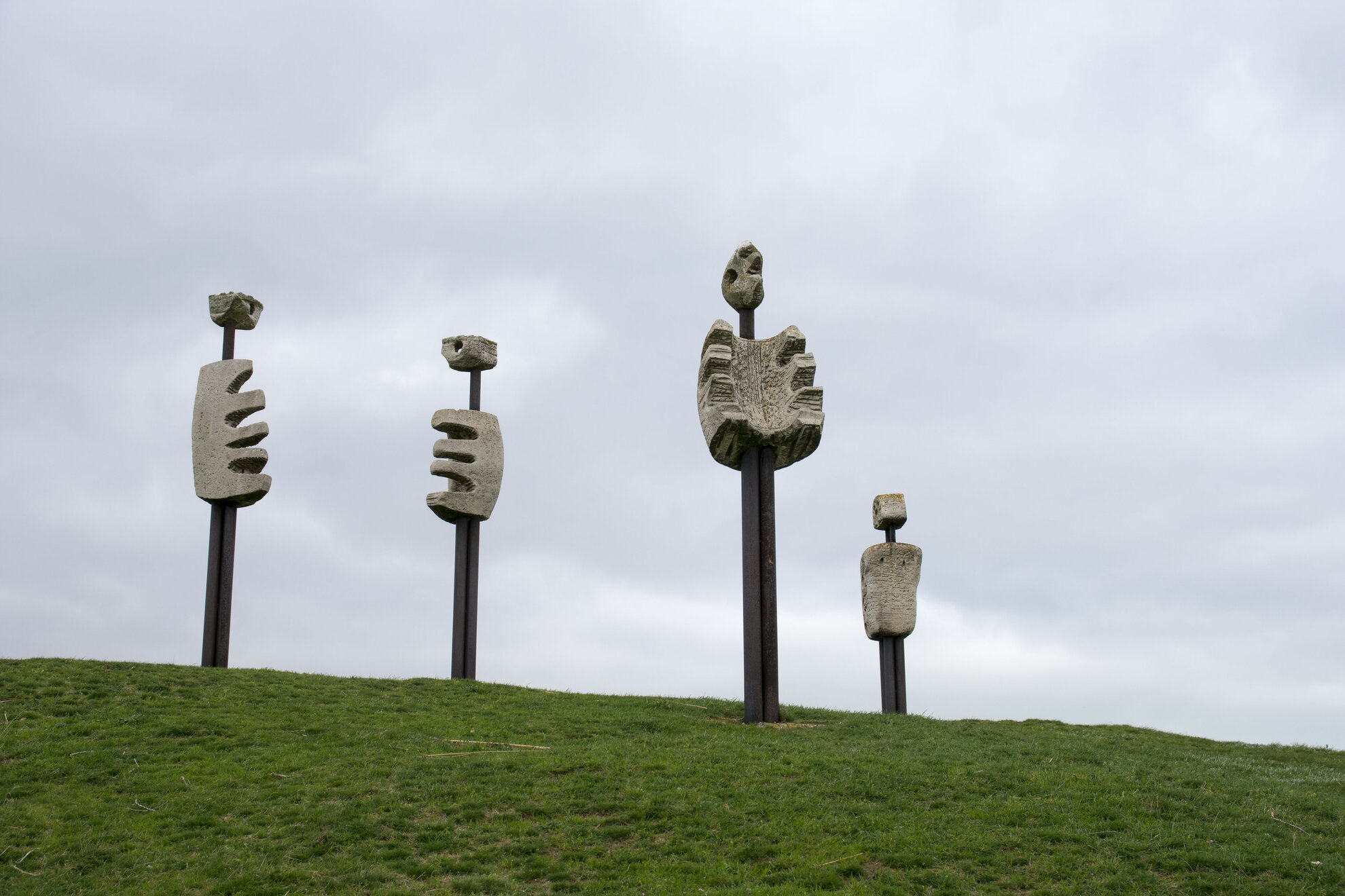
This is one of the strangest places in the Káli Basin. From the shore of Lake Kornyi near Kővágóörs, you can make the figures of Imre Veszprémi’s collection of sculptures made of steel and limestone. The human-like figures two to three metres high also inspired film director Miklós Jancsó: they can be seen in Szörnyek évadja, Égi bárány and Életünket és vérünket.
Getting here
From either Köveskál and Kővágóörs, they can be reached from the road connecting the two villages. But you can also follow the Theodora study trail starting from Kékkút.
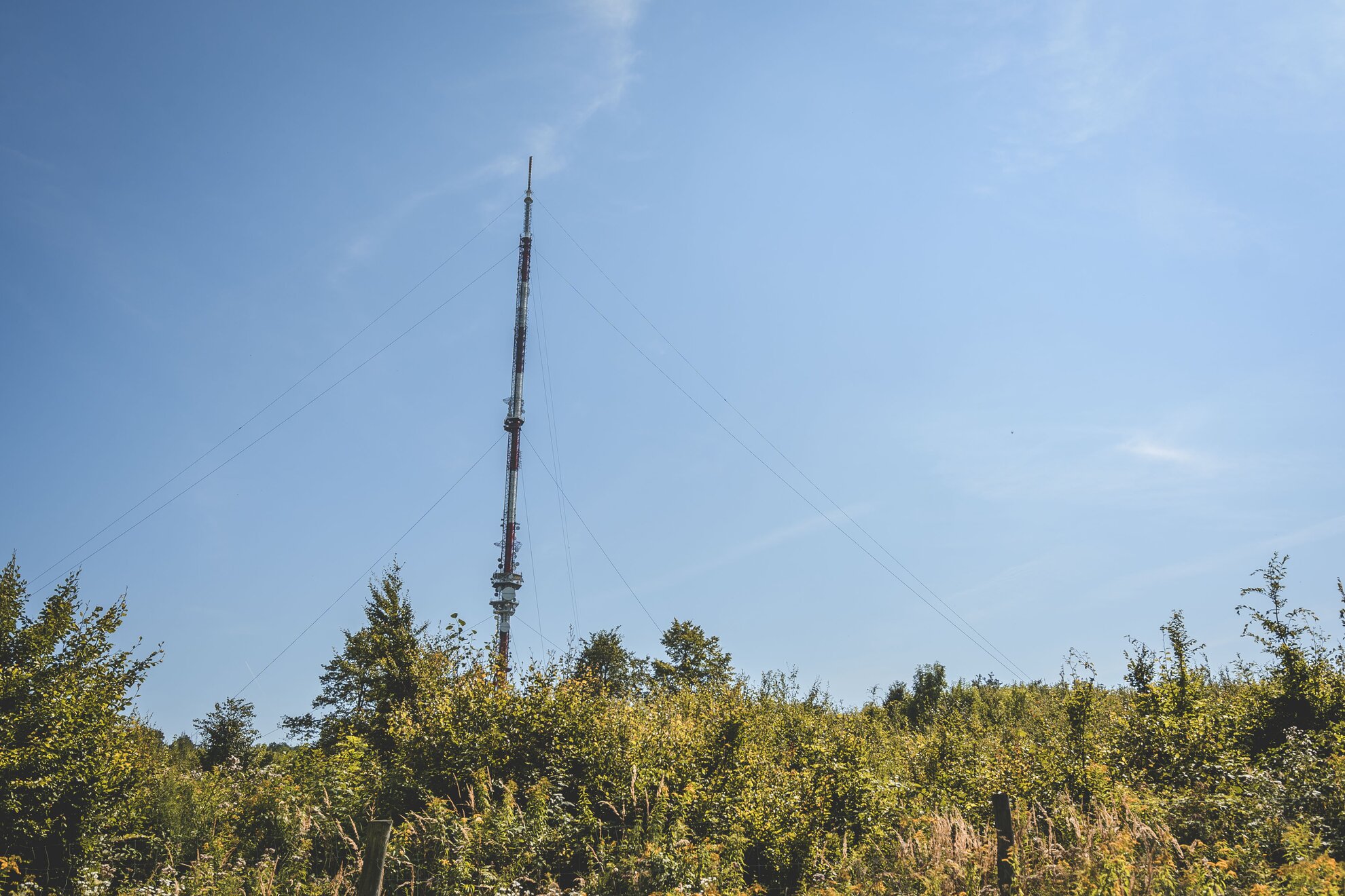
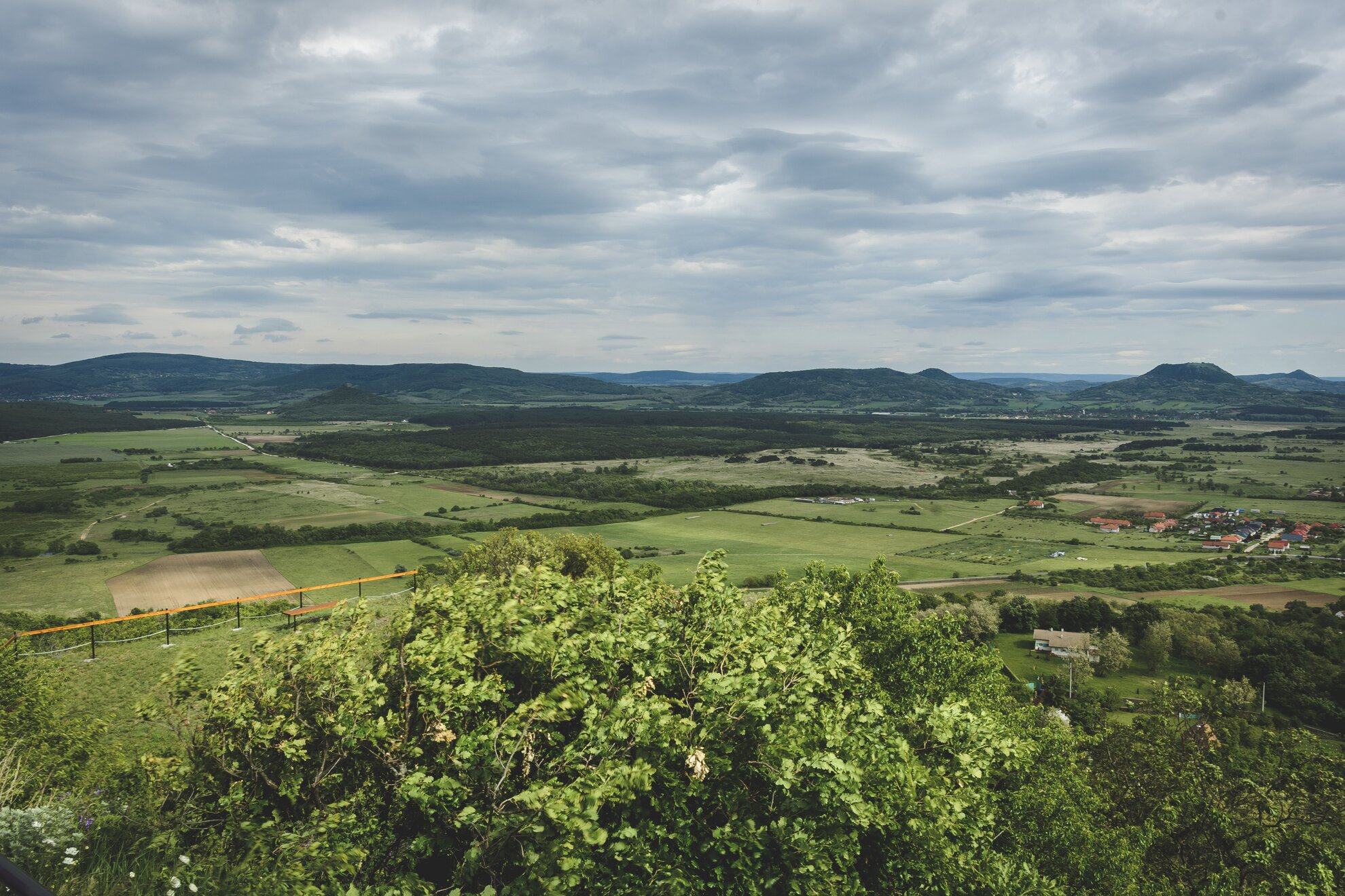
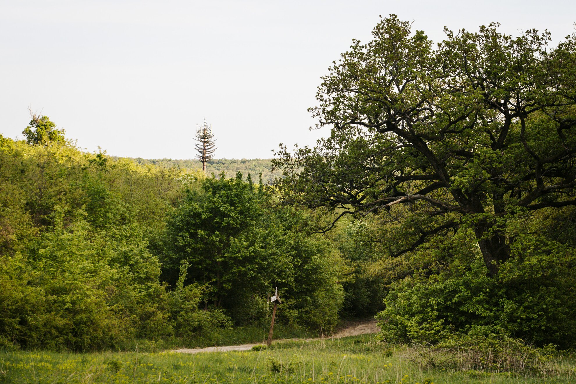
If you feel like conquering a 599-metre-high hill, prepare for a sweaty hike but a lovely walk. What’s more, the hike won’t be pretty all the way: to get to these heights known for their iconic and huge radio towers, the hiking trail not only leads through woods, but you also have to walk along a lot of asphalt. From the Pál Kinizsi Lookout Tower, you can also see Lake Balaton and the top of Badacsony in clear weather.
Getting here
From the castle at Nagyvázsony, or from Úrkút, Blue Tour and Blue Cross routes lead up the 599 metres on two separate but parallel trails that merge before the mountain peak.
‘Bald hill’ is actually a lookout point without a lookout, just a barren hilltop, ideal for solitary contemplation. Hikers didn’t even flock here in normal times. From here, from a height of 330 metres, there are memorable views of lone hills and Mindszentkálla.
Getting here
In Mindszentkálla, walk from Rákóczi utca, first along a dirt road, then up 365 steps.
According to legend, magical forces work around the hilltop and Hungarian leader Koppány was buried here. The spirit of the place is therefore determined by ancient Magyar motifs. If you continue walking along the hiking trail, from the highest point of Somogy County, Alman Roof, you can admire the landscape dominated by vineyards and cellars from a dizzying height of 317 metres.
Getting here
Nezde Sculpture Park officially belongs to Kereki, but it can be reached by the tourist trail from Szólád.
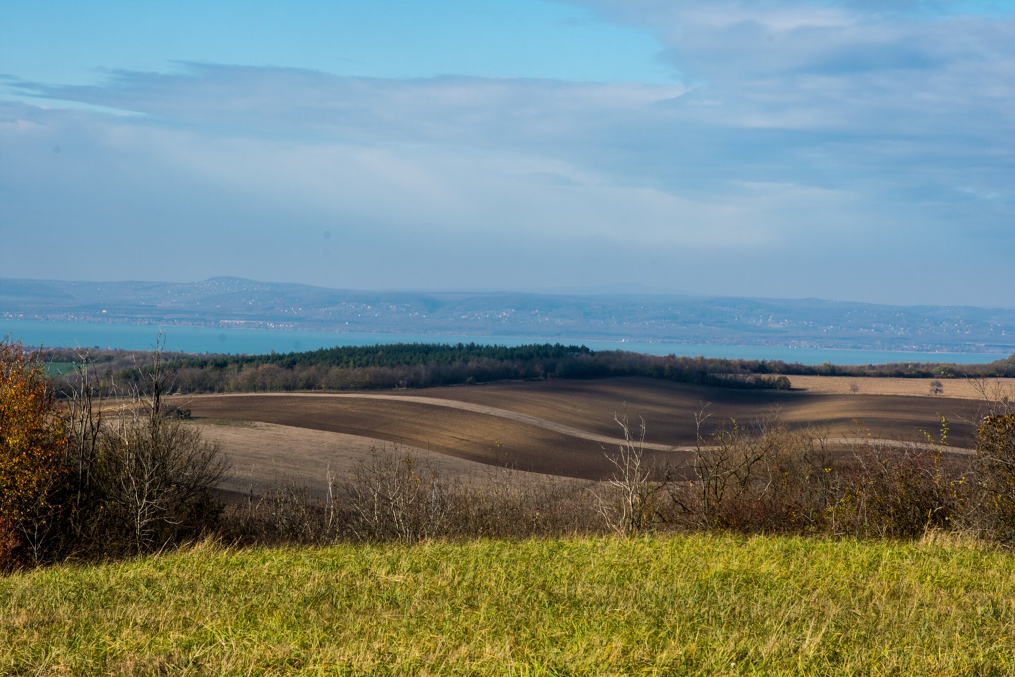
This hike is best if you have half a day to spare, because you have to walk more than five kilometres there and back. Here you can really immerse yourself in the charms of the forest in spring, and after a while you won’t even hear the noise of the main road. Heading for the lookout, from where you can admire Keszthely Bay and the shores of Somogy, make sure you turn right from the road marked with a green cross. If you walk straight ahead, you will reach the Büdöskút rest area, which is the hub of the hiking trails around the Keszthely hills, and from where you can reach six more lookouts in addition to Padkű.
Getting here
Two streets above the main road in Vonyarcvashegy is Csereze utca, from where you take the hiking trail marked with a green cross.
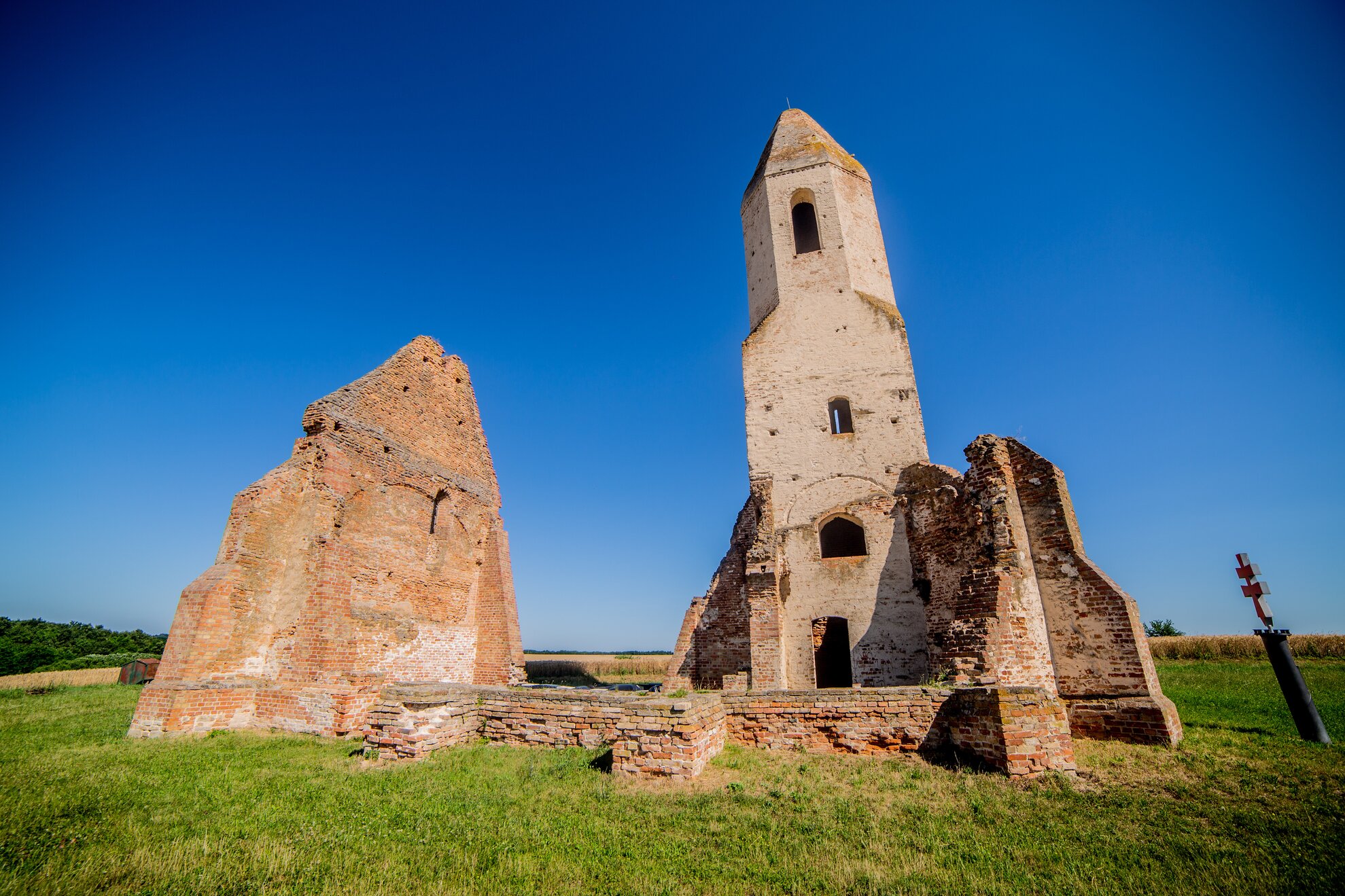
The place now known as Somogyvámos was the village of Csopak in the 1200s. It was completely depopulated during the Turkish wars, and only the ruins left by its famous church remind us of its existence. Excavations were carried out here in 1968, and it turned out that the brick church had been rebuilt several times over the centuries. The place also provides the creepy legend that this building was once the seat of Hungarian leader Koppány, whose child, Kupa, was walled in on one side of it.
Getting here
The church stands south-west of Somogyvámos, in the middle of the cornfield on the Dunajka plateau (including the Ihász hillside). A tourist trail leads here – you can walk from Somogyvámos following the yellow signs.
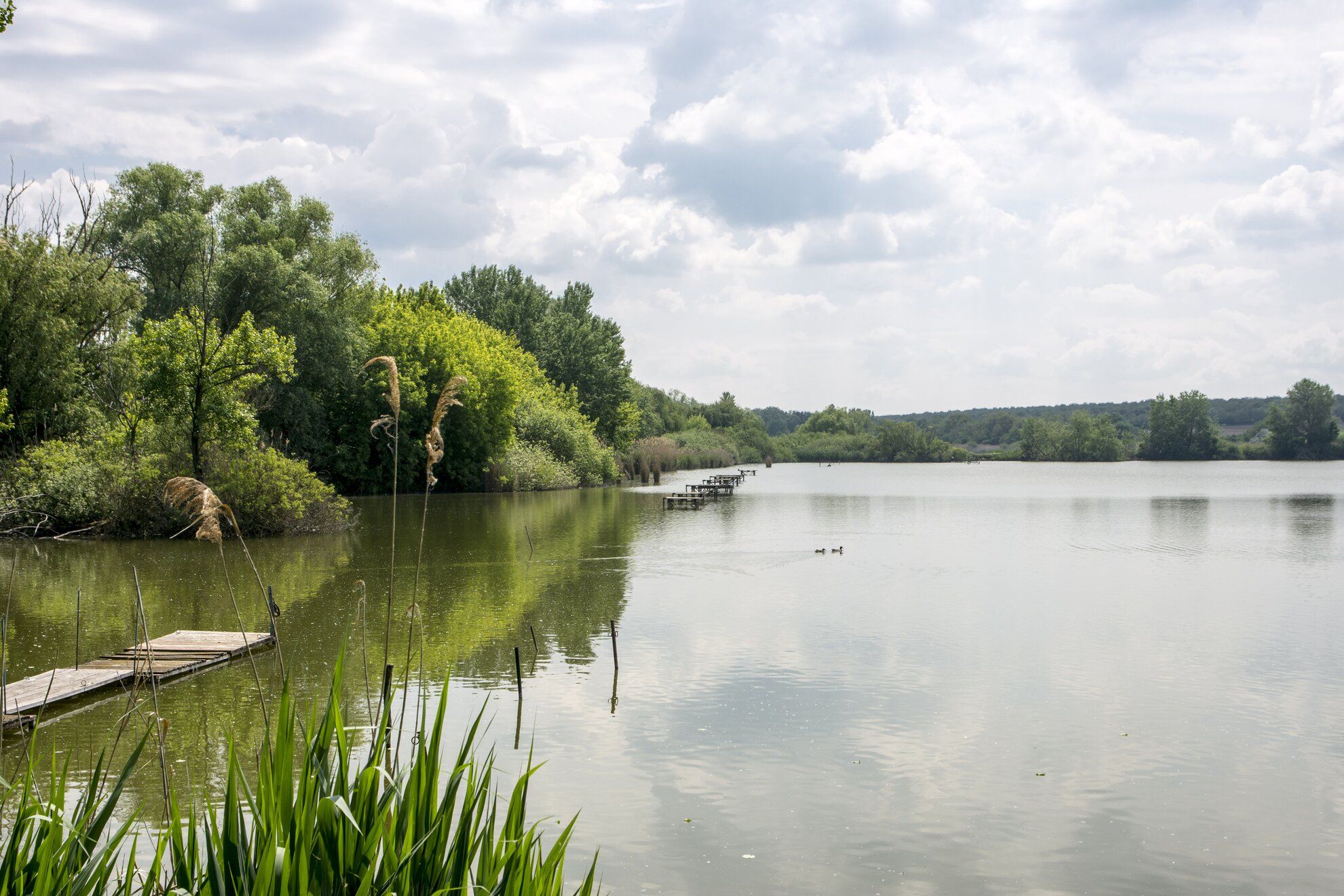
Siófok usually evokes images of crowded bustle – not during social distancing, of course – but here, too, there is a green escape route to the silence of nature. And not only that: walking along the Töreki Lakes trail beside Cinege stream, you feel in the wilderness, especially if you’ve rarely have the chance to walk around nature. Signs placed along the path keep you informed of where the tree frog might be croaking, where woodpeckers are nesting, and how the valley of Cinege stream developed.
Getting here
It is better to leave the M7 at the eastern junction of Zamárdi, but you can also opt for the centre of Siófok. On Main Road 7, head towards Széplak until the sign for Töreki – at the junction there’s a petrol station.