And follow one of the innumerable hiking trails of the Balaton area. Stroll up to the nearest lookout tower or hike into the woods of Bakony or Somogy. Tips, advices, and maps.
Would you like to ring the changes on Balaton fun without having to spend a penny? Put on a comfy pair of shoes, turn your back on the big blue and find the nearest trail blaze. Tip: train stations do help!
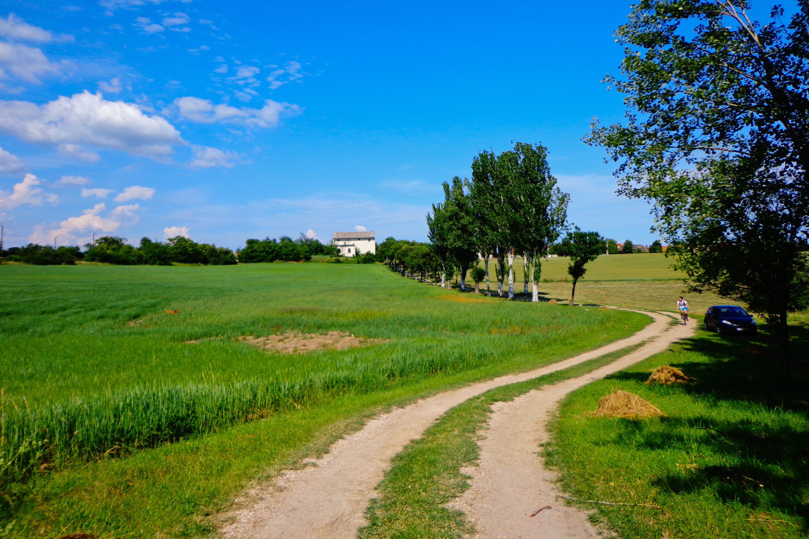
The north shore of Balaton is a dream come true for hikers: you'll find trails - both short and long - heading north from every train station and stop between Balatonkenese-Üdülőtelep and Tapolca, with the exception of Csopak, Fövenyes, Zánkafürdő and Szepezdfürdő. Look for yellow, green, blue or red blazes at the train stations!
Some of the trails lead to a sight or a lookout point close to their starting point. It does not take a profefssional mountaineer to reach the observation tower at Ábrahámhegy, the Kisfaludy observation tower next to Badacsony, the Jókai lookout tower above Balatonfüred, or one of the most beautiful lookout points of Balaton, the Panoráma lookout spot in Balatonvilágos, and the spectacular view makes that 45-minute walk worthwhile in itself. The rest of the trails provide a connection to the hiking trails of Bakony. You will by all means find what you are looking for: a stroll through the village after lunch or a 2-day escape from densly inhabited areas are both laid at your feet on the north shore.
WALK ON
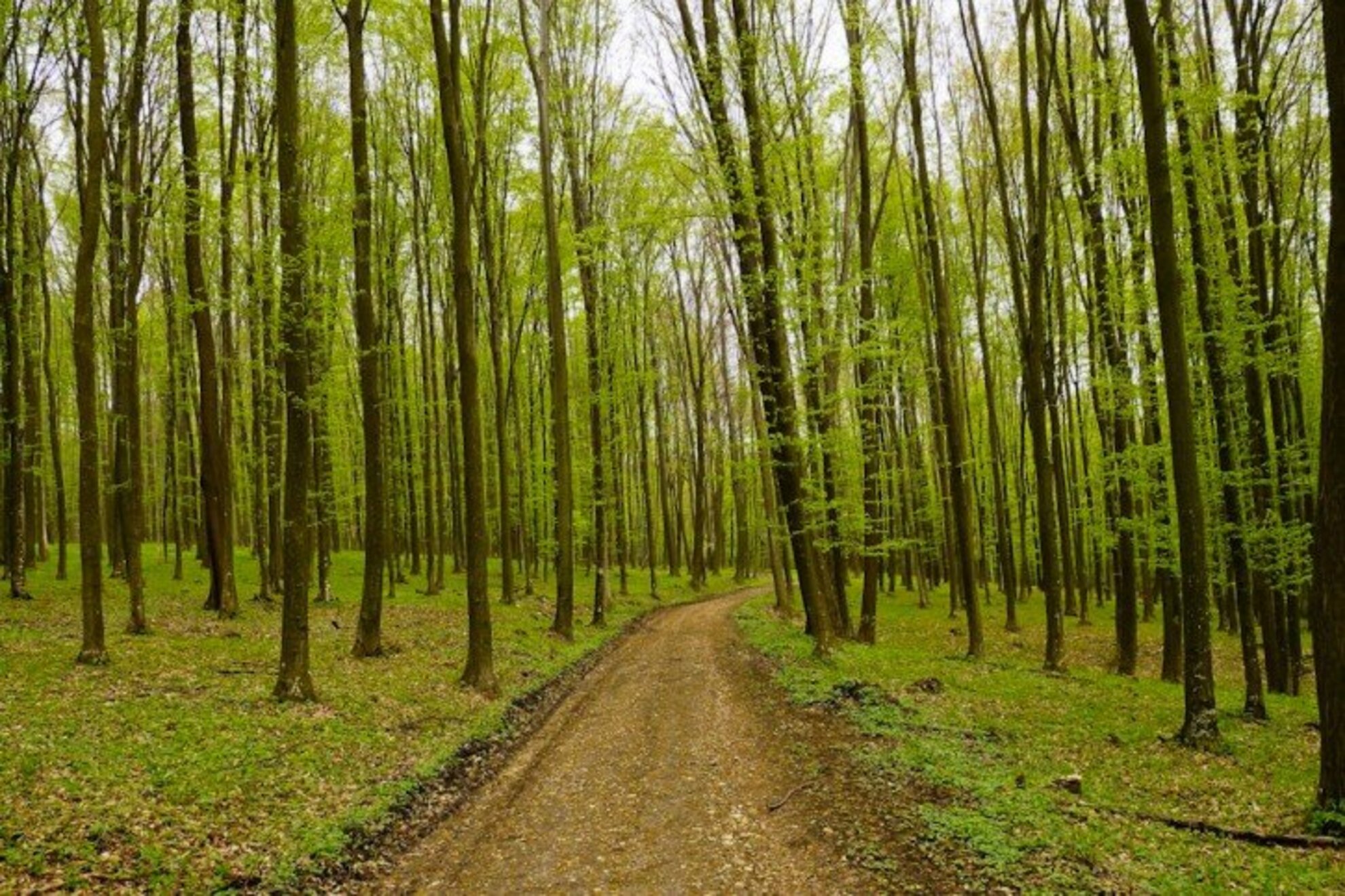
The Országos Kéktúrát (OKT - Countrywide Blue Tour in Hungary) is best know to most from a dedicated TV-series from 1979. The Balaton-felvidék section of the Blue Tour is about 58 km-long and easily accessible from the western part of the north shore. The Balaton Blue Tour crosses the awe-inspiring scenery of the north shore's monadnocks and the Káli Basin: Tapolca, Szent György-hegy, Szigliget, Badacsonytördemic, Badacsony (Ranolder Cross, Kisfaludy lookout tower), Gulács, Káptalantóti, Csobánc, Szentbékkálla Sea of Stones, Eötvös lookout tower on Fekete-hegy, Vigántpetend highway. The section ends at the Kinizsi Castle of Nagyvázsony, which also marks the start of the Bakony section. This is about 124 km-long, and runs further away from Lake Balaton, along the settlements Nagyvázsony, Városlőd, Bakonybél, Zirc, Tés, Bakonykút, and Bodajk.
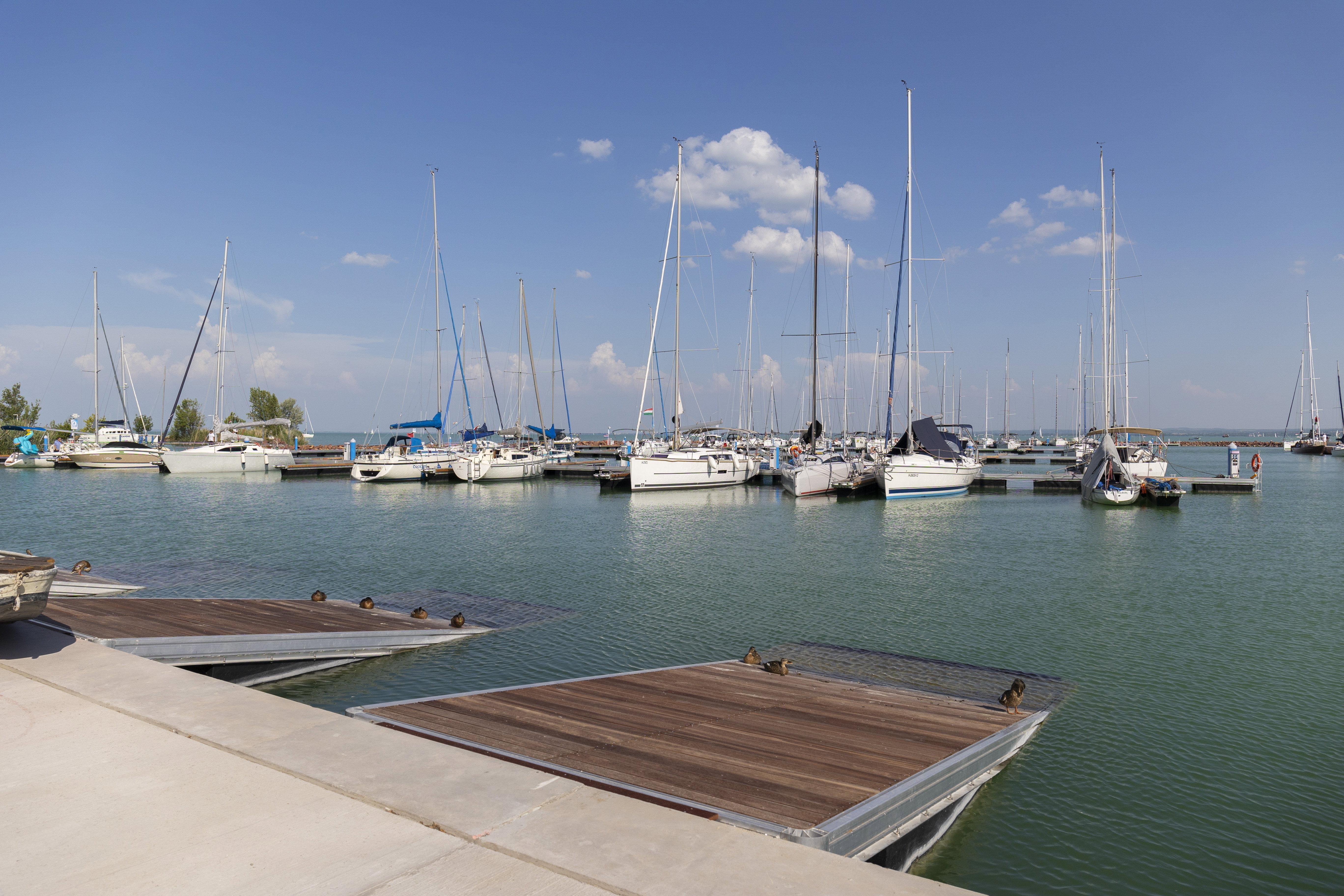
On the near flat south shore, hiking trails are far more rare. If you are looking to set out on a hike from any train stop, you'll fing relatively short trails starting out from the stops in Szabadifürdő, Siófok, Zamárdi, Szántód, Balatonföldvár, Balatonboglár, Fonyód and Balatonberény; these take you on slight slopes and flat walks.
Still, the south shore also has a few lookout points to climb up to: the Observation tower at Kőhegy is a 20-minute walk rom the Zamárdi train station, and it also does not take long to reach the Gömbkilátó if you follow the yellow blaze in Balatonboglár. If you are looking for the hiking equivalent of Bakony and Balaton-felvidék on the south shore, check out the less-known, but exciting Somogyi-dombság. On the other side of the slopes trimming Balaton's south shore, you'll find the hills of Somogy County, rich in woods, game, and castles of various sizes and styles.
PLANNING AND SETTING OUT
The trails start out from the vicinity of the shore where you can tank up on food and drinks. It is a proven fact that sandwiches taste better one hour into the walk already. For a stroll, you won't need more than a bottle of water, some snacks or dried fruits, so you'll have something to resort to when your motivation somehow dwindles and a gigantic lángos and a pint of fröccs appear in your mind's eye.
If you are not an experienced hiker, plan your schedule and distance in advance: a chatty stroll takes you to 3 km in an hour, the average speed takes you to 4 kms. If you hurry somewhat you can leave 5 kms behind in 60 minutes, a performance-oriented speed can take you to 6. If you go faster, it is called jogging.
Based on the above, you can easily plan your route with the help of a map, but pay attention to isoheights, as a steeper slope can slow down your progress both uphill and downhill. The Balaton Hiking Map by the Cartographia Kiadó (No. 41) is available in most places offline and online as well. You can check the map of Balaton (and the entire country) beforehand on the online map of turistautak.hu. Zooming in, you can follow each route in detail, find the necessray blazes and the sights along them. Nordic walking fans will also find a growing number of dedicated routes at the Balaton.
Having no map, the easiest thing to do is to follow a blaze and then turn back home when you reach half of the time available to you. Tip: on the way there, glance behind you at the forks in the road to know your way back. If you happen to switch blazes, memorize their order.